Rating
Rating: 0.0 out of 0 votes
Categories
Geodata International
Geodata International - World-wide towns, municipalities and postal codes
Geodata International 4.10 Description
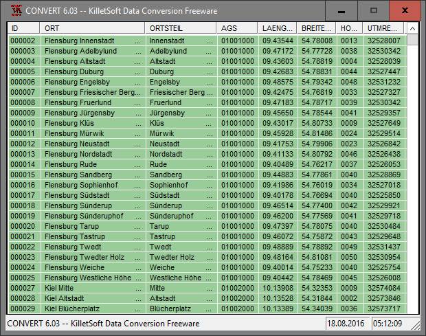
- Geodata International - World-wide towns, municipalities and postal codes Geodata International - World-wide database of countries with georeferenced towns, municipalities, postal codes and administrative units with WGS84 and UTM coordinates and elevations for geocoding, proximity search, navigation, distance calculation. Often is it necessarily, for an address characteristic, e.g. the place name or the postal code, to establish a local relationship - a georeference. The georeference can be used e.g. to show a customer the nearest chain store by doing a proximity search. On the basis of the georeferences business zones, statistics or general maps can be made. Towns, municipalities and postal codes can be assigned to the superordinated administrative units. Distances between places or postal areas can be determined with the coordinates contained in the database tables. For that the georeferences are available in all country database tables as UTM coordinates on the natural and an uniformly meridian strip and as geographical coordinates in degree and deg/min/sec notation. With the elevation data from a Digital Elevation Model the ground level height of each place can be determined. The database tables are present in the file format CSV (Comma Separated Values). The character set used is UTF8. This format is used often and in most cases you can import data directly into your own data system. The freeware program CONVERT, downloadable from the KilletSoft site, converts the available database tables to other data formats and character sets with the necessary sortings and selections. With the program, for example, CSV data can be converted to the SDF format (Simple Document Format) or to the dBase format. For the use of the data on different platforms it is possible to select between the character sets ASCII, ANSI, UTF8 and UniCode. Thus the import of the data in any database management system or file system will be possible.
Geodata International 4.10


- License: Data Only $210
- OS:WinXP,WinVista,WinVista x64,Win7 x32,Win7 x64,Win2000,WinOther,Other,Mac OS X,Ma
- Last Updated: 2012-07-01 19:53:58
- Requirements: All systems
- Publisher:C. Killet Software Ing.-GbR
- Homepage: http://www.killetsoft.de
Geodata International 4.10 keywords
geo , data , geodata , point , pointdata , spatial , reference , coding , coordinates , places , local , localities , town , quarters , postal , zip , code , peri
Other softwares from C. Killet Software Ing.-GbR (8)
- CONVERT 3.20
the freeware convert from killetsoft converts dbase, csv and sdf data bases..
- SEVENPAR 2.10
calculation of helmert / molodensky parameter sets for precise datum shifts.
- TRANSDAT 15.10
TRANSDAT - Coordinate conversion and datum shifts with highest accuracy.
- Graphics4VO 6.04
graphics library for cavo with output to display, printer, file and memory..
- GeoDLL 12.26
dll with geodesic functions for2d and 3d coordinate transformations and more..
- DRAGSENS 1.10
dragsens - gps position of a dragged sensor - transformation and tracking..
- Geodata Germany 15.20
geodata of germany with towns, postal codes, preselections, landscapes ec..
- Geodata International 4.10
Geodata International - World-wide towns, municipalities and postal codes.


